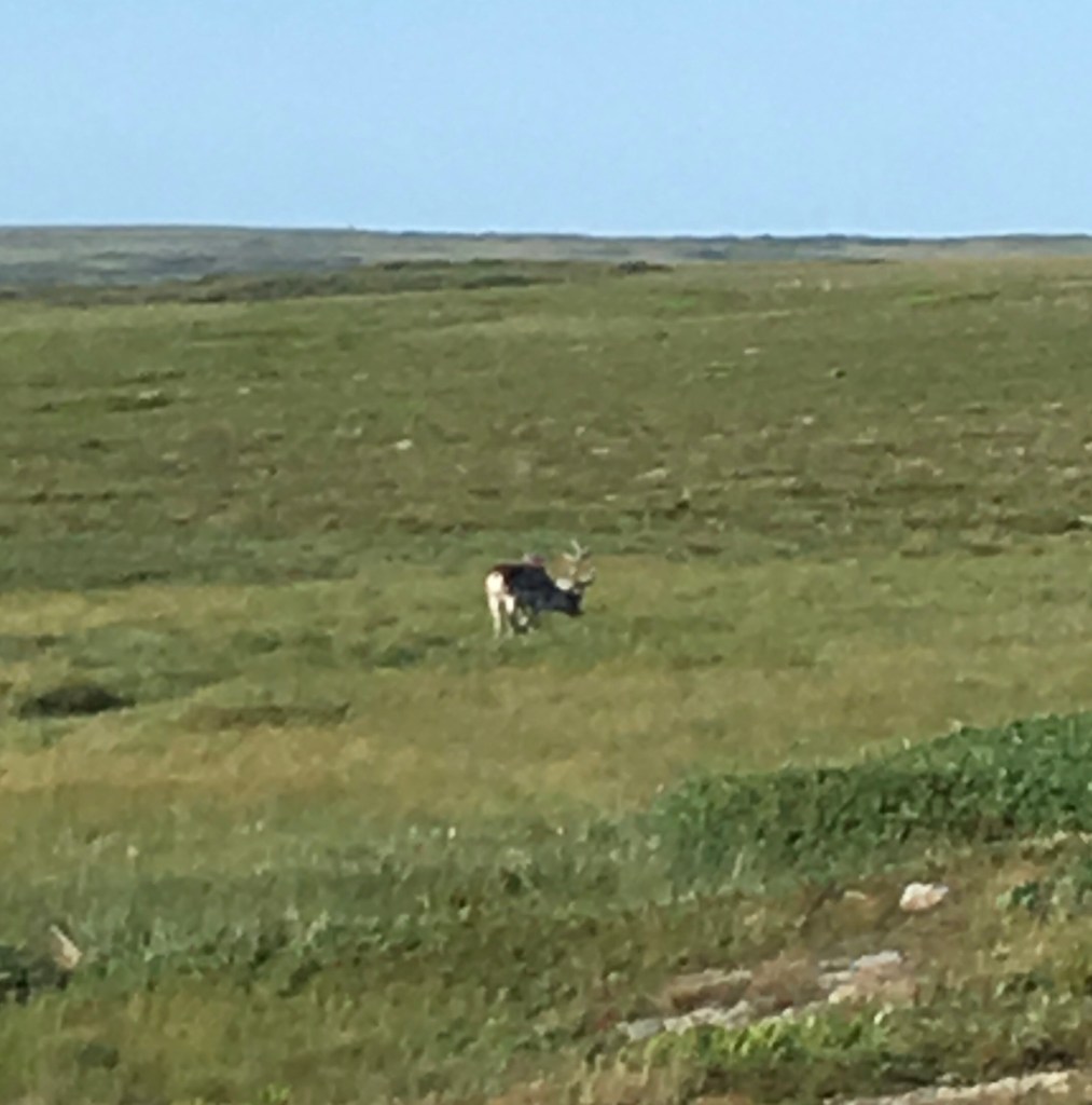
If you were looking for a window into the earliest periods of Earth’s existence, Gros Morne National Park would be the place to start. And if you wanted to see some of the most stunning scenery in Canada, you can’t do much better than here. The park is situated on the western shore of Newfoundland not far from Deer Lake, straddling the Long Range mountains. This range forms the spine of Newfoundland’s Northern Peninsula and is the northern extremity of the Appalachian Mountains, a range that, hundreds of millions of years ago, would have dwarfed the Himalayas of today. After eons of punishing erosion, including 14 ice ages, the peaks have given way to rounded stubs, wide U-shaped gorges, valleys forested in boreal and sub Arctic vegetation and lavishly inhabited by caribou and moose.
The park was established in 1978 and expanded on more than one occasion to incorporate adjacent territory of interest. In addition to the Long Range Mountains, the park’s landscape features a deeply penetrating system of bays and inlets that essentially bisect the park, as well as the Tablelands, a wild, otherworldly moonlike mass plunked down haphazardly in the centre of the park. More on this later.
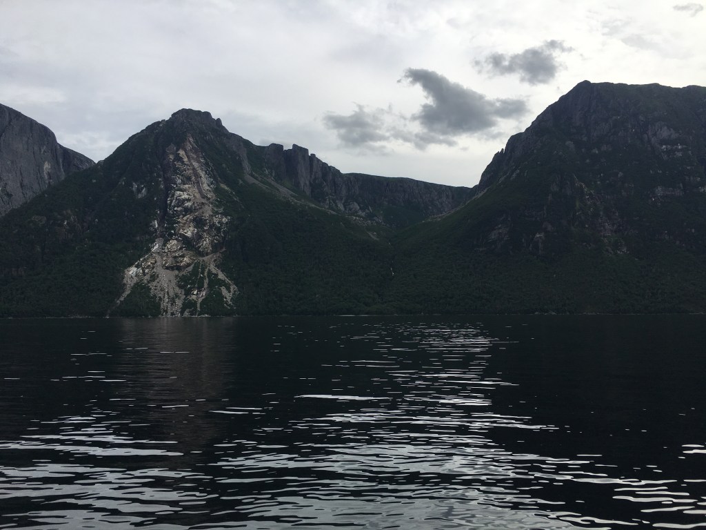
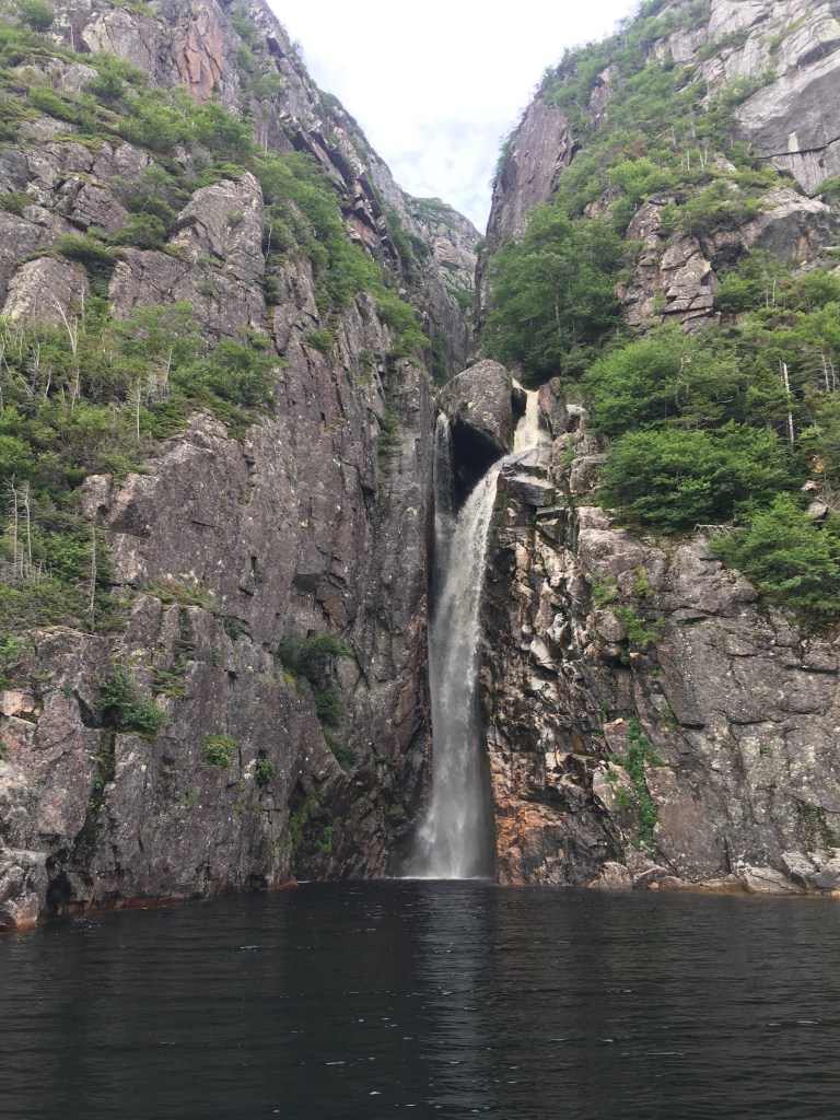
A ubiquitous feature throughout the park is the presence of water everywhere you look. The ocean and Bonne Bay are the most obvious water sources you notice right away. But as you begin hiking around the park you realize there’s water everywhere, in the form of ponds, brooks and springs flowing out of cliffs. It’s these water sources that are relentlessly shaping the landscape and nourish localized ecosystems that attract biologists and birders from all over the world. The most famous body of water in the park is Western Brook Pond, a fjord that eventually got separated from the ocean when the land rebounded after the weight of the ice from the last ice age retreated.
The Tablelands are a wacky anomaly in the park. These flat-topped mountains were not even within the original boundaries when the park was created, but added later once local mining companies had determined that mineral extraction would not be commercially viable (they likely regret that assessment in hindsight).


Apart from their odd desert moon-like appearance, what makes these mountains unique is the fact that they are one of only four places on the planet where you can see the mantle piercing through the Earth’s crust (other locations are Scotland, Oman and Papua New Guinea). Who cares, right? Actually, it is important as it was this spot that inspired the theory of plate tectonics by a Canadian geologist in the 1960s, who determined that exposed mantle was evidence of the Earth’s crust being subdivided into sections called plates. The theory goes that the collisions of these plates over millions of years cause sections of the crust to lift, creating mountains. The theory is to this day still just a theory – experts dispute how it works. Nonetheless, UNESCO saw the value of the scientific discussion that the Tablelands inspired and on this basis awarded the World Heritage Site designation to the park in 1987.
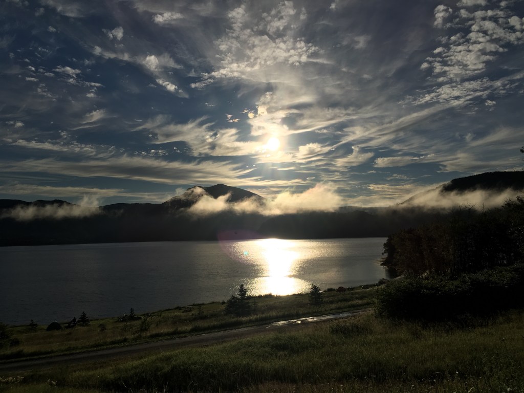
I arrived at the park on Wednesday afternoon (Aug. 8) in drizzling rain and set up camp in Lomond campground, on the shore of the East Arm of Bonne Bay. The campground provides a million dollar view of the bay and surrounding forested mountains. I jumped in the car and set out to get some supplies in a nearby village and then decided to grab some fish and chips at a pub to wait out the weather. An hour later (around 5 pm) the sky was clearing and I set out to hike the Lookout Trail, so named for its view of Bonne Bay and the Tablelands. The trail leads up to a central vantage point where one can see the various landmarks of the park – in one direction, the Tablelands; in another, Gros Mountain. And while standing there admiring the view I thought back to my trip here 20 some years ago and wondered where the time went.